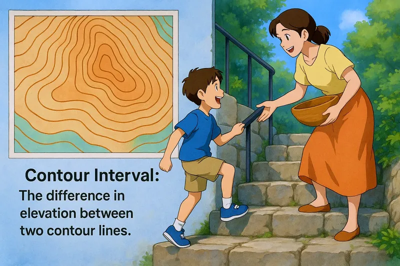
Contour Interval
Contour interval explained in an easy to understand way:


Imagine you're climbing a staircase where each step is a different height, making it tricky to walk up smoothly. This situation is similar to reading a topographic map where the contour interval represents the difference in elevation between two contour lines, much like the varying heights of each step. Just as each step height tells you how much you need to lift your foot to reach the next level, the contour interval tells you how much elevation changes between lines on a map, helping you understand the terrain's slope and steepness.
Practice Version

Contour Interval: The difference in elevation between two contour lines. Contour interval. In Science, a contour interval is the vertical distance or difference in height between successive contour lines on a map, showing the slope of the terrain.